Rojals (Plans de Sant Joan) – Prescribed burn
General information
- Category
- Prescribed burn
- Fire classification
- Surface plume
- Country
- Catalunya
- Year
- 2024
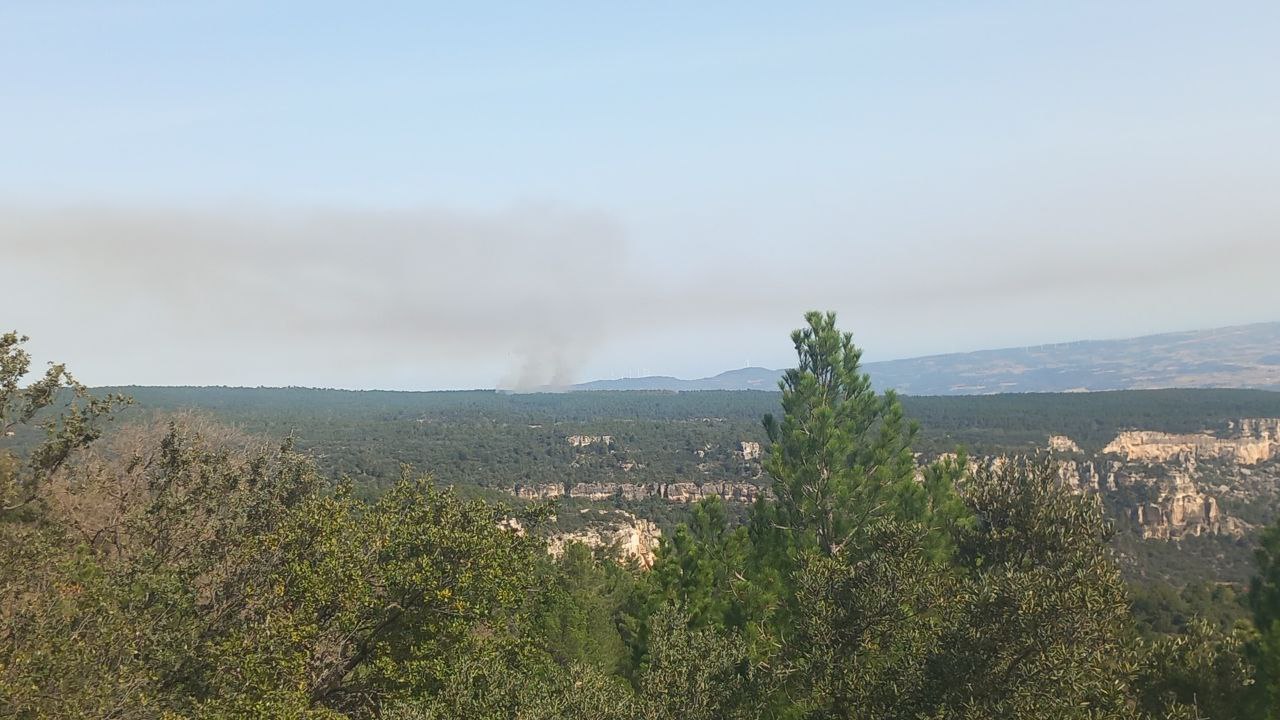
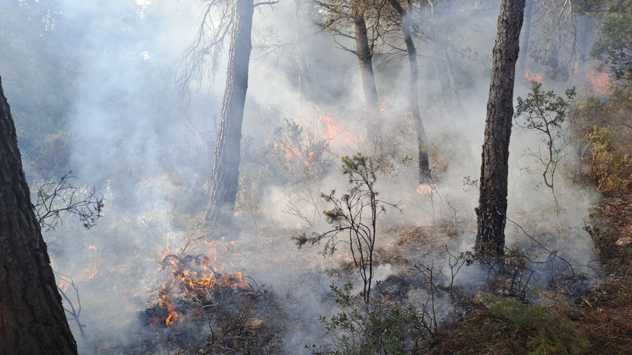
The prescribed burn of the Rojals-Plans de Sant Joan is part of a PEG (Punt Estratègic de Gestió – Strategic management point) in the Muntanyes de Prades massif, the aim of which is to reduce surface fuels and create areas with a low fuel load, thus improving suppression capacity in the case of wildfire. Due to the complexity of the forest structure, it was a very challenging burn. The fire intensity had to be controlled so as not to affect the tree layer of the plot and to eliminate the undergrowth, with bushes up to 3 metres high.
Fire behaviour and surface observations
| Start location lat | 41.363944 deg N |
| Start location lon | 1.113958 deg E |
| Start location name | Rojals - Plans de Sant Joan, Catalonia |
| Start hour | 21/03/2024 08:29:00 (UTC) |
| Surface affected | 0.97 ha |
| Fire behavior | Surface fire, mid intensity |
| Torching head | 5 % |
| Torching flanks | % |
| Flame length mean head | 1.5 m |
| Flame length max head | 4 m |
| Flame length mean flanks | m |
| Flame length max flanks | m |
| Spotting mean | 0 m |
| Spotting max | 0 m |
| Rate of spread mean | m/h |
| Rate of spread max | m/h |
| Burn ratio mean | ha/h |
| Burn ratio max | 0.2 ha/h |